Today I thought it would be good to see how far away a beach run would be on the bike. I mapped out a rough route and took off. This time I was prepared with GPS in pocket.
The ride out was pleasant and rather uneventful. The crampbuster did an excellent job maintaining my speed on the long stretches. I didn’t designate any waypoints, so I stopped whenever I felt I needed to get my bearings or take a break. Stops included, it took about an hour and a half to get to the coast. Still didn’t see any public beach access though, So I stopped for lunch.

On the way out, I asked where the beach access was, and was directed to a road not far from where I was. A short drive over and I came to the “beach”.
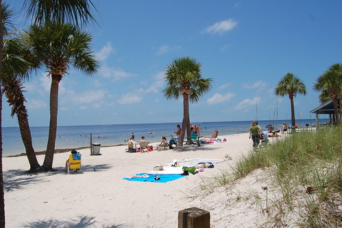
That’s actually a pretty flattering shot. That’s about all there is of the beach. So, with my curiosity satisfied, I headed back. I figured with less stops, I should get a more accurate time. Not surprisingly, things went to crap.
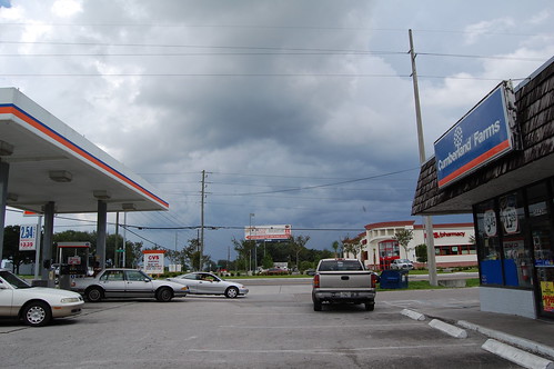
That’s actually a pretty flattering shot too. You can’t tell how dark it really was ahead. Sure enough, in the last 15 minutes of the ride, down it came. Fortunately, I think I missed the worst. I can tell this by arriving in the aftermath. Lots of debris in the road and a couple flooded road sections I had to avoid.
Now back home and warming up. The storm should finish passing sometime soon, then I can get out again.
Comments are closed.